Waking up to golden marsh views or pushing off from your own dock sounds like a dream. On James Island, that dream can look very different from lot to lot, from quiet marsh outlooks to deep-water access into the harbor. With shoreline rules, flood insurance, and dock permits in the mix, smart prep is everything. This guide breaks down what to know so you can buy with confidence and enjoy the Lowcountry lifestyle you have in mind. Let’s dive in.
What counts as waterfront on James Island
Not every water-facing home offers the same experience or cost. On James Island, you’ll mainly see three types:
- Marsh-view or marshfront: Scenic outlooks over the marsh or creeks with fewer permitting hurdles. These lots may not allow a private dock.
- Tidal-creek cottages: Classic Lowcountry homes on shallower creeks. Many have smaller piers or floating docks, but access can be tide dependent.
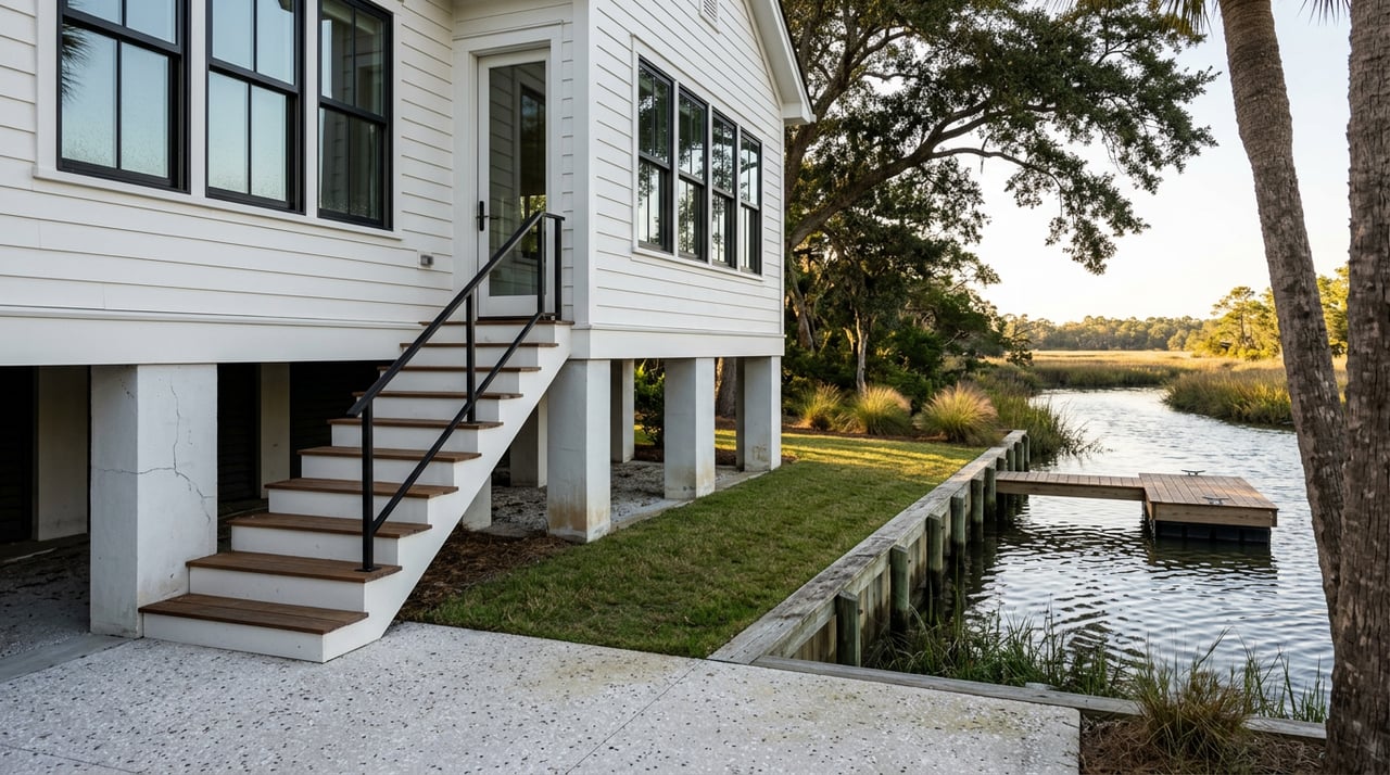
- Deep-water properties: Private docks into channels with reliable boat access to the Stono River or Charleston Harbor. These are rare and often command the highest prices on the island. Supply is limited, and value hinges on depth, frontage, view corridor, and permitted dock features.
If boating is central to your plans, confirm whether a parcel truly offers deep-water access, not just a water view. Small details like creek width, channel depth, and existing dock permits can make a large difference in daily use and long-term value.
Dock rights and permits: who decides and how
Several agencies share oversight of docks and shoreline work around James Island:
- South Carolina OCRM (within SCDHEC): Sets state coastal rules for docks, piers, and living shorelines in the critical area. Eligibility, alignment, spacing from property lines, and many size limits flow from these regulations. Review the state’s dock standards in S.C. coastal regulations R.30-12.
- U.S. Army Corps of Engineers: Reviews activities in navigable waters. Depending on scope, you may need a regional or individual permit. Learn how federal permits work through the Corps’ Regulatory Program overview.
- Charleston County: Enforces local floodplain and building rules, and issues local flood zone determinations. Start with Charleston County Floodplain Management for parcel-specific guidance.
Key state rules that shape dock eligibility
- Frontage and spacing: Private docks are often limited to lots with sufficient waterfront frontage. State rules commonly reference a 75-foot minimum for private docks, plus spacing from extended property lines. Confirm whether the lot is a “lot of record” and meets OCRM criteria.
- Joint or community docks: Where frontage is tight or cumulative impacts are a concern, joint or community docks may be encouraged. Some subdivisions use Dock Master Plans that define where docks can go.
- Process and notice: OCRM distinguishes minor versus major activities, with different timelines and potential public notice requirements. See permit categories in R.30-2 procedural rules.
- Dredging and boatlifts: Dredging typically triggers additional reviews and can add time and cost. The Corps will be involved on many dredging projects.
Practical steps before you write an offer
- Ask for recorded OCRM and Corps permit numbers, plus any as-built dock surveys. If records are missing, assume new permits may be needed.
- Verify whether the existing dock matches the permit and whether any conditions or timelines apply.
- If you plan upgrades like a boatlift or longer walkway, confirm alignment and eligibility early.
- For complex projects, budget extra time. Even minor permits can require public notice and multi-agency review.
Flood maps, insurance, and elevation
Flood risk ties directly to affordability on coastal parcels. Take the time to verify zone, elevation, and likely premiums during your due diligence.
- Start with FEMA’s Flood Map Service Center to view the property’s current panel and zone. You can pull a FIRMette from the FEMA MSC portal.
- Request a formal local determination letter from Charleston County Floodplain Management. Ask if Coastal A standards or LiMWA apply.
- Understand pricing under FEMA’s Risk Rating 2.0. NFIP premiums now factor in property-specific elements like elevation, distance to water, and replacement cost. Read FEMA’s overview of Risk Rating 2.0 and obtain quotes from both NFIP and private insurers early.
- Ask the seller for an Elevation Certificate. If none exists, order one. The current forms and guidance are on FEMA’s Elevation Certificate page.
What to do during due diligence
- Pull the FEMA panel and order a lender-grade flood determination.
- Get NFIP and private-market flood quotes using a current Elevation Certificate.
- Ask about past flooding or flood claims, then have your inspector look for signs of moisture or prior water entry.
- Review whether freeboard or other local standards will affect future improvements.
Environmental and shoreline limits
South Carolina protects marsh and tidelands, which can limit where and how you can build along the shore.
- Activities that shade or fill vegetated marsh are restricted. Living shorelines, which use plantings and low-profile sills, are often encouraged as an alternative to hard bulkheads. See state regulatory guidance on critical-area protection and living shorelines in the South Carolina coastal regulations.
- Seagrass, shellfish beds, and navigation corridors can affect dock length, pile placement, and boatlift alignment. A pre-screen by a marine contractor or environmental consultant can flag likely constraints early.
Plan for long-term water change
Sea-level rise and high-tide flooding trends matter over a long ownership window. Use NOAA’s Sea Level Rise Viewer to visualize inundation scenarios, then factor resilience into your plans. Many buyers weigh near-term lifestyle benefits against long-term exposure and maintenance.
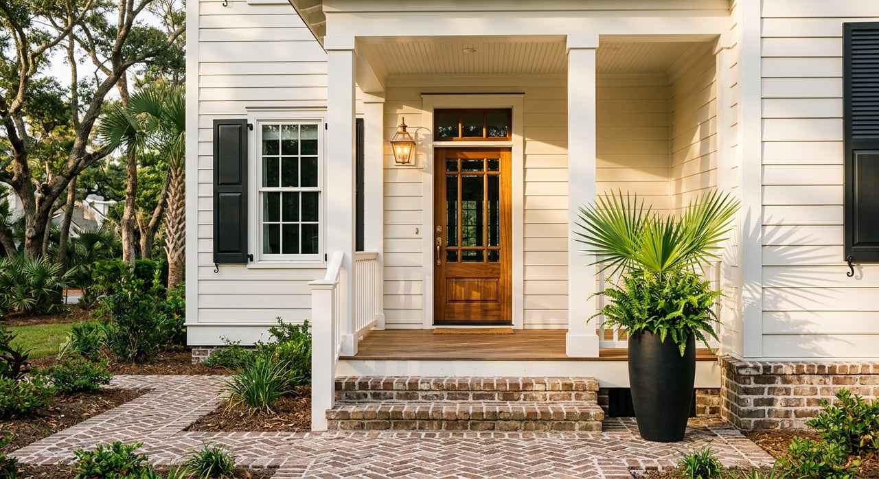
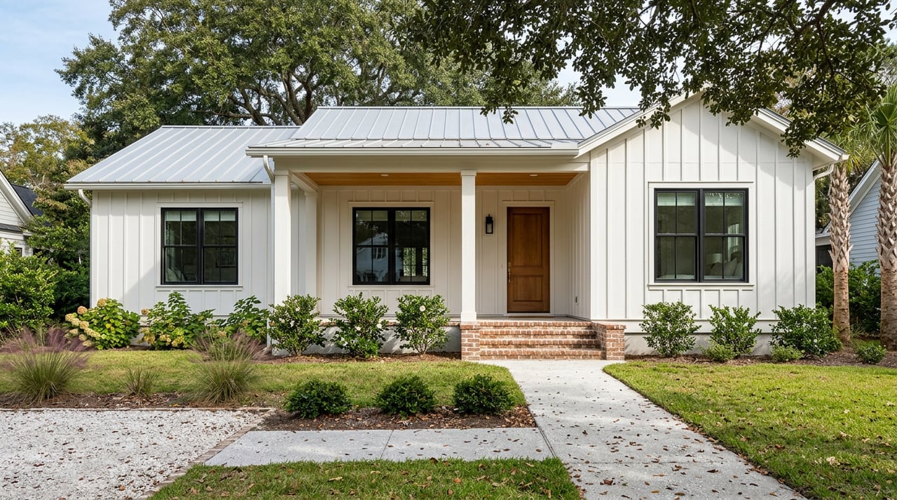
Neighborhoods and price context
Waterfront on James Island is not one-size-fits-all, and the pool of properties is small. You will see a mix of cottages and larger waterfront parcels in areas like Riverland Terrace, along stretches of the Stono River, and near Fort Lamar and Stiles Point. Because inventory is limited and lots vary in depth, bank type, and dock status, like-for-like comparables are more useful than broad averages.
In general, deep-water properties sit at the top of the price range for the island, often over seven figures depending on frontage, dock features, and home condition. Marsh-view and tidal-creek properties can be more attainable and lower maintenance, but still deliver that signature Lowcountry feel. Your strategy should follow your lifestyle priorities and budget: boating from your backyard, panoramic marsh sunsets, or both.
Ownership costs you should plan for
- Dock construction and upgrades: National guides place many residential docks in the low-to-mid five figures, with common averages around 10–30k for typical builds. Long walkways, boatlifts, dredging, or boathouses can raise costs. For context, see HomeAdvisor’s dock cost guide, then get site-specific estimates from local marine contractors.
- Routine dock and lift maintenance: Annual service, periodic decking and fastener replacement, and storm repairs.
- Shoreline protection: Bulkheads, riprap, or a living shoreline can be significant capital items and may carry permit conditions.
- Insurance: NFIP or private flood insurance based on property-specific risk under Risk Rating 2.0.
- Shared costs: HOA or community dock assessments, if applicable.
- Utilities and systems: Confirm public sewer vs. septic and plan for a full septic inspection when present.
Buyer due-diligence checklist
Use this quick checklist to keep your purchase on track.
- Permits and records
- OCRM and Corps permit numbers and any recorded plans.
- As-built dock survey showing mean high and low water lines.
- Elevation Certificate, septic permits, and HOA covenants if applicable.
- Flood and insurance
- FEMA panel from the Flood Map Service Center.
- County flood zone determination from Charleston County.
- NFIP and private flood quotes using a current Elevation Certificate from FEMA’s forms page.
- Technical inspections
- Dock, piles, and boatlift inspection by a marine contractor.
- Shoreline evaluation for bulkhead or living shoreline needs.
- Environmental pre-screen for seagrass or shellfish constraints.
- Septic inspection or confirmation of public sewer.
- Legal and title
- Title search for dock easements, joint-dock agreements, and riparian rights.
- Check for any shoreline fill or public trust issues.
- Permitting and timeline
- If you plan changes, build a permitting contingency into your offer.
- Clarify whether your project will be a minor or major activity under R.30-2 and whether federal review by the U.S. Army Corps will apply.
How we help you buy with confidence
You deserve a waterfront home that fits both your lifestyle and your budget. We pair neighborhood intelligence with clear, step-by-step guidance so you can make decisions with confidence. That includes helping you read flood maps, organize dock and shoreline records, and connect with trusted local specialists for marine, environmental, and insurance questions. When it is time to price and negotiate, we focus on like-for-like comps that reflect frontage, depth, dock status, and view.
Ready to take the next step on James Island waterfront? Let’s talk about your wish list and timeline, then build a plan that gets you there.
If you are exploring marsh-view, tidal-creek, or deep-water options on James Island and want a thoughtful, local partner, reach out to the Sonder Home Team. We will help you evaluate risk, confirm rights, and move forward with clarity.
FAQs
Do waterfront lots on James Island automatically allow a private dock?
- No. Dock eligibility depends on state and local rules, including frontage, alignment, creek width, and resource impacts. Many new docks need OCRM approval and sometimes federal review; always verify recorded permits in R.30-12.
How much will flood insurance add to my costs on James Island waterfront?
- It varies by property. FEMA’s Risk Rating 2.0 prices premiums using factors like elevation, distance to water, and replacement cost; get NFIP and private quotes early and use a current Elevation Certificate. See FEMA’s Risk Rating 2.0.
Can I dredge to improve access at my dock?
- Possibly, but expect more review. Dredging typically triggers federal and state permits, can require mitigation, and may be limited if it affects habitat or navigation. Review the Corps’ permit process.
Should I worry about sea-level rise with a James Island waterfront home?
- It is a smart consideration. Use NOAA’s Sea Level Rise Viewer to assess long-term scenarios, then budget for resilience including elevation, freeboard, and shoreline protection strategies aligned with state guidance.